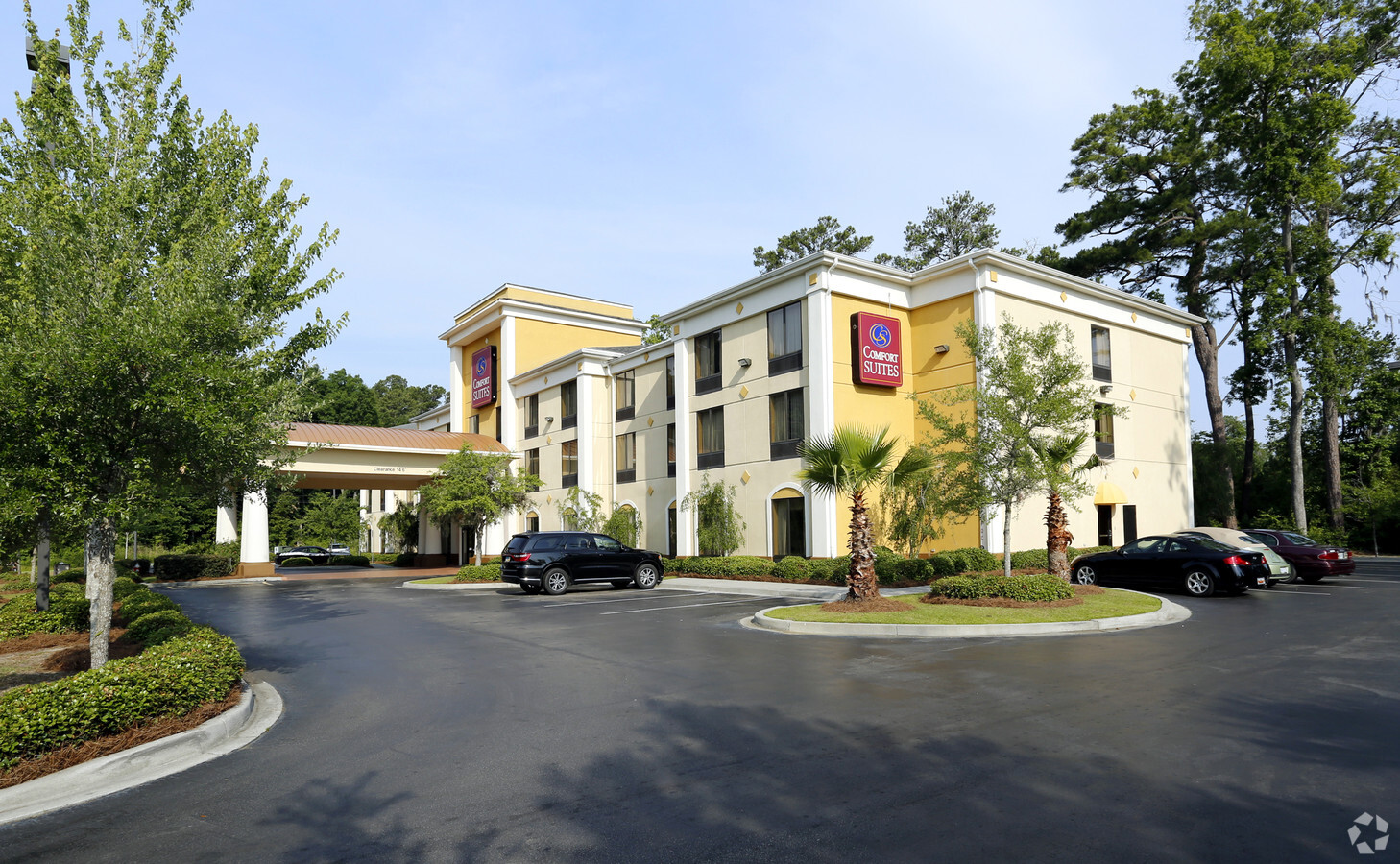
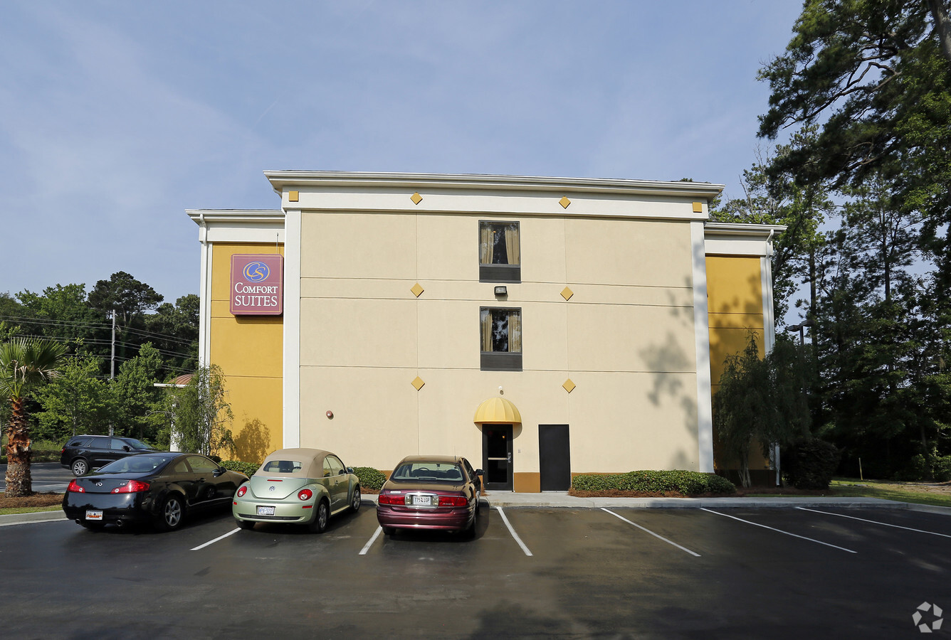
Property Record
131 Big John Rd, Beaufort, SC 29906
NEARBY LISTINGS FOR SALE OR LEASE
-
-
View all Beaufort listings for sale on LoopNet.com
Property Detail
131 Big John Rd
Hilton Head Island-Bluffton-Beaufort, SC
Beaufort West Comm & New Town
R122-029-000-0291-0000
TRACT 1 POR OF THE CITY OFBEAUFORT SUBJ TO ROLL BACKTAX LIEN TIMBERLANDHOME PLAC
Motel
Beaufort
2024
South Carolina
2023
1.60 AC
000502
Hilton Head/Beaufort
40,954 SF
Other Market Areas
DEMOGRAPHICS near 131 Big John Rd
1 Mile
3 Mile
5 Mile
2024 Total Population
2,242
17,320
46,254
2029 Population
2,483
19,124
51,096
Pop Growth 2024-2029
+ 10.75%
+ 10.42%
+ 10.47%
Average Age
37
40
39
2024 Total Households
909
7,199
17,958
HH Growth 2024-2029
+ 10.45%
+ 9.97%
+ 10.44%
Median Household Inc
$44,962
$54,044
$59,677
Avg Household Size
2.50
2.30
2.40
2024 Avg HH Vehicles
2.00
2.00
2.00
Median Home Value
$324,495
$258,027
$281,287
Median Year Built
1996
1984
1992
Nearby Places
- Restaurants
- Banks
- Shops
- Fitness
- Groceries
PUBLIC TRANSPORTATION
AIRPORT
Hilton Head
Drive
Walk
Distance
Hilton Head
48 min
35.8 mi
Freight Ports
Georgia Ports - Savannah
Drive
Walk
Distance
Georgia Ports - Savannah
57 min
45.2 mi
Nearby Properties
Address
Land Use
TOTAL SIZE
Lot Size
Zoning
Address
Land Use
TOTAL SIZE
Lot Size
Zoning
245864
19.36 AC
6601
Address
Land Use
TOTAL SIZE
Lot Size
Zoning
4,143 AC
6601
Address
Land Use
TOTAL SIZE
Lot Size
Zoning
1802
21.42 AC
6111
Address
Land Use
TOTAL SIZE
Lot Size
Zoning
4.45 AC
6601
Address
Land Use
TOTAL SIZE
Lot Size
Zoning
1050
5.06 AC
HDR-A
Address
Land Use
TOTAL SIZE
Lot Size
Zoning
15642
0.94 AC
BA8
Address
Land Use
TOTAL SIZE
Lot Size
Zoning
23136
9.67 AC
6101
Address
Land Use
TOTAL SIZE
Lot Size
Zoning
101304
6.47 AC
6611
Address
Land Use
TOTAL SIZE
Lot Size
Zoning
217792
60 AC
6611
Address
Land Use
TOTAL SIZE
Lot Size
Zoning
85656
22.54 AC
6611
Address
Land Use
TOTAL SIZE
Lot Size
Zoning
39296
2.05 AC
6611
Address
Land Use
TOTAL SIZE
Lot Size
Zoning
34200
4.18 AC
6601
Address
Land Use
TOTAL SIZE
Lot Size
Zoning
142753
47.85 AC
6611
Address
Land Use
TOTAL SIZE
Lot Size
Zoning
116067
27 AC
6611
Address
Land Use
TOTAL SIZE
Lot Size
Zoning
214795
24.94 AC
6611
Address
Land Use
TOTAL SIZE
Lot Size
Zoning
4928
4.76 AC
6611
Address
Land Use
TOTAL SIZE
Lot Size
Zoning
60814
3 AC
Address
Land Use
TOTAL SIZE
Lot Size
Zoning
2760
4.16 AC
6611
Address
Land Use
TOTAL SIZE
Lot Size
Zoning
92125
10.14 AC
6611
Address
Land Use
TOTAL SIZE
Lot Size
Zoning
134446
19.90 AC
6611
Address
Land Use
TOTAL SIZE
Lot Size
Zoning
71309
2.30 AC
6601
Address
Land Use
TOTAL SIZE
Lot Size
Zoning
53684
24.30 AC
6611
Address
Land Use
TOTAL SIZE
Lot Size
Zoning
44312
1.87 AC
Address
Land Use
TOTAL SIZE
Lot Size
Zoning
64000
5.92 AC
Address
Land Use
TOTAL SIZE
Lot Size
Zoning
3976
1.28 AC
LPMUC
Address
Land Use
TOTAL SIZE
Lot Size
Zoning
35280
0.16 AC
Address
Land Use
TOTAL SIZE
Lot Size
Zoning
36020
3.46 AC
6611
Address
Land Use
TOTAL SIZE
Lot Size
Zoning
20800
12.55 AC
6611
Address
Land Use
TOTAL SIZE
Lot Size
Zoning
32035
7.39 AC
4201
Start a new search to find other properties for sale or lease
Connect with us
© 2024 CoStar Group
The information above has been obtained from sources believed reliable. While we do not doubt its accuracy we have not verified it and make no guarantee, warranty or representation about it. It is your responsibility to independently confirm its accuracy and completeness. Any projections, opinions, assumptions, or estimates used are for example only and do not represent the current or future performance of the property. The value of this transaction to you depends on tax and other factors which should be evaluated by your tax, financial, and legal advisors. You and your advisors should conduct a careful, independent investigation of the property to determine to your satisfaction the suitability of the property for your needs.